


15,3 km | 24 km-effort

Usuario


Aplicación GPS de excursión GRATIS
 SityTrail
IGN / Institutos geográficos
SityTrail World
El mundo es suyo
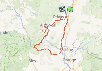
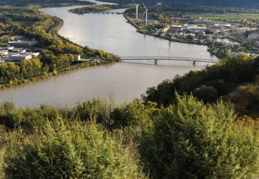
Ruta Cicloturismo de 333 km a descubrir en Auvergne-Rhône-Alpes, Ardecha, Le Pouzin. Esta ruta ha sido propuesta por ericf64.
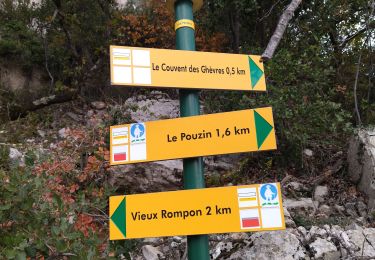
J1 Le Pouzin à Vogüé
J2 Vogüé à Vogüé
J3 Vogüé à Gagnières
J4 Gagnières à Goudargues
j5 Goudargues à Bourg St Andéol
j6 Bourg St Andéol à Le Pouzin
Parcours avec des parties sur chemins mais qui peuvent être évitées sur routes

Senderismo

Senderismo

Senderismo
Senderismo
Senderismo
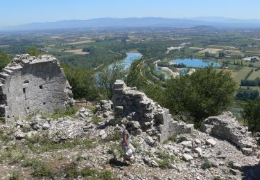
Senderismo
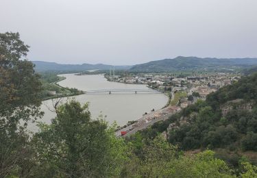
Senderismo
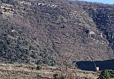
Senderismo
Senderismo